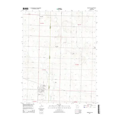
2015 Map of Golden City
USGS Topo · Published 2015About this map
Golden City serves as the primary hub in this southwest Missouri landscape, straddling the line between Barton Co and Dade Co. The street grid of the city is well-defined, showing residential and commercial alignment along Main St and Chestnut St, while the surrounding prairie is divided by an orderly network of county roads like E Central Rd and W Dade 122. The area is characterized by several smaller named locales, including Layneville to the north and Davenport centrally located.
Find a feature on this map
62 named features on this map. Tap any name to fly to it.
Don’t see what you’re looking for? This feature index may not catch every label — zoom into the map to look around manually.
Map Details
Editions of this 2015 Golden City Map
This is the sole edition of this map. No revisions or reprints were ever made.
Other maps of this area
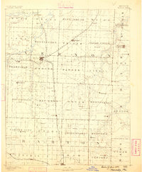
1886 · Nevada
USGS Topo · 1:125,000
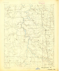
1886 · Stockton
USGS Topo · 1:125,000
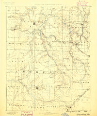
1886 · Greenfield
USGS Topo · 1:125,000
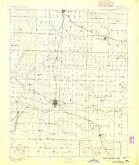
1886 · Carthage
USGS Topo · 1:125,000
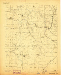
1888 · Greenfield
USGS Topo · 1:125,000
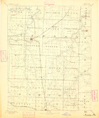
1894 · Nevada
USGS Topo · 1:125,000
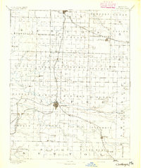
1894 · Carthage
USGS Topo · 1:125,000

1947 · Joplin
USGS Topo · 1:250,000
1949 · Joplin
USGS Topo · 1:250,000
1954 · Springfield
USGS Topo · 1:250,000