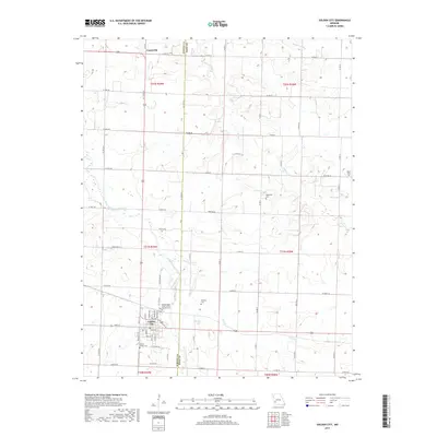
2017 Map of Golden City
USGS Topo · Published 2017About this map
Golden City anchors this agricultural landscape in Southwest Missouri, situated along the border of Barton and Dade counties. The town's grid is well-defined south of the North Fork Spring River, featuring several notable sites for local history researchers, including the Independent Order of Odd Fellows Cem and Harlow-Wright Cem. To the north, the small settlement of Layneville sits near the upper reaches of Horse Cr, illustrating the dispersed residential patterns typical of this prairie region.
Find a feature on this map
67 named features on this map. Tap any name to fly to it.
Don’t see what you’re looking for? This feature index may not catch every label — zoom into the map to look around manually.
Map Details
Editions of this 2017 Golden City Map
This is the sole edition of this map. No revisions or reprints were ever made.
Other maps of this area
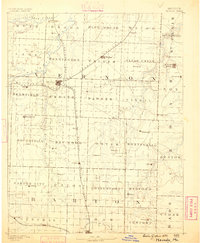
1886 · Nevada
USGS Topo · 1:125,000
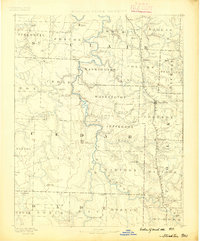
1886 · Stockton
USGS Topo · 1:125,000
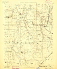
1886 · Greenfield
USGS Topo · 1:125,000
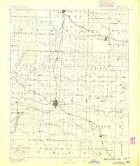
1886 · Carthage
USGS Topo · 1:125,000
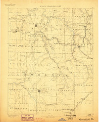
1888 · Greenfield
USGS Topo · 1:125,000
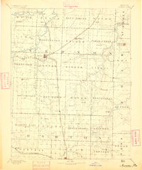
1894 · Nevada
USGS Topo · 1:125,000
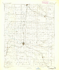
1894 · Carthage
USGS Topo · 1:125,000

1947 · Joplin
USGS Topo · 1:250,000
1949 · Joplin
USGS Topo · 1:250,000
1954 · Springfield
USGS Topo · 1:250,000