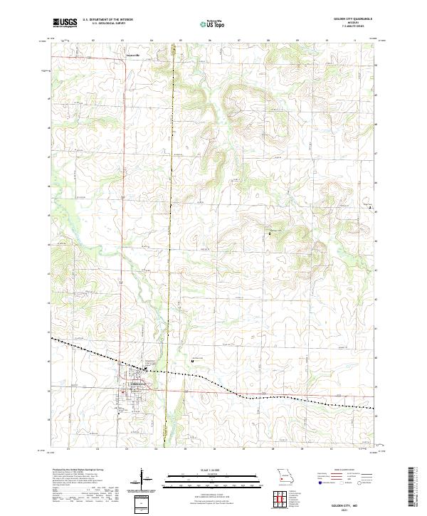
2021 Map of Golden City
USGS Topo · Published 2021About this map
Golden City serves as the primary hub in this corner of Barton County, where a grid of streets like Main St and Walnut St meets the open agricultural landscape. The surrounding area is characterized by the meandering path of the North Fork Spring River and tributaries such as Kyle Cr and Horse Cr. This rural expanse is punctuated by several small, family and fraternal burial grounds, including the Independent Order of Odd Fellows Cem and the Harlow-Wright Cem, providing vital reference points for local genealogical research. To the north, the small settlement of Layneville sits near the crossing of E Hwy E, while more isolated markers like Pippenger Cem and Edgar Cem reflect the distributed nature of early farmsteads and rural communities that define the region's heritage.
Find a feature on this map
59 named features on this map. Tap any name to fly to it.
Don’t see what you’re looking for? This feature index may not catch every label — zoom into the map to look around manually.
Map Details
Editions of this 2021 Golden City Map
This is the sole edition of this map. No revisions or reprints were ever made.
Other maps of this area

1886 · Nevada
USGS Topo · 1:125,000

1886 · Stockton
USGS Topo · 1:125,000

1886 · Greenfield
USGS Topo · 1:125,000

1886 · Carthage
USGS Topo · 1:125,000

1888 · Greenfield
USGS Topo · 1:125,000

1894 · Nevada
USGS Topo · 1:125,000

1894 · Carthage
USGS Topo · 1:125,000

1947 · Joplin
USGS Topo · 1:250,000

1949 · Joplin
USGS Topo · 1:250,000

1954 · Springfield
USGS Topo · 1:250,000