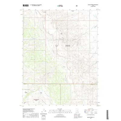
2020 Map of Golden Throne
USGS Topo · Published 2020About this map
Capitol Reef National Park and the surrounding wilderness of the Dixie National Forest define this 2020 landscape in southern Utah. The map details the complex geology of the Waterpocket Fold, a massive earth-wrinkle where high points like the Golden Throne and Ferns Nipple rise above deep-cut drainage systems such as Capitol Gorge and Burro Wash. To the north, the Scenic Drive and Capitol Gorge Road provide limited access to these desert features, while the southern portion of the sheet transitions into the more open Tantalus Flats and Pleasant Creek Flats.
Find a feature on this map
30 named features on this map. Tap any name to fly to it.
Don’t see what you’re looking for? This feature index may not catch every label — zoom into the map to look around manually.
Map Details
Editions of this 2020 Golden Throne Map
This is the sole edition of this map. No revisions or reprints were ever made.
Other maps of this area

1885 · Fish Lake
USGS Topo · 1:250,000

1896 · Fish Lake
USGS Topo · 1:250,000

1952 · Notom 4 SE
USGS Topo · 1:24,000

1952 · Notom 2 SE
USGS Topo · 1:24,000

1952 · Notom 4 NW
USGS Topo · 1:24,000

1952 · Notom 4 SW
USGS Topo · 1:24,000

1952 · Notom 4 NE
USGS Topo · 1:24,000

1952 · Notom 3 SE
USGS Topo · 1:24,000

1952 · Notom 3 NE
USGS Topo · 1:24,000

1952 · Notom 1 SW
USGS Topo · 1:24,000