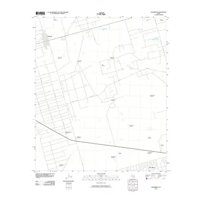
2010 Map of Goldsmith
USGS Topo · Published 2010About this map
The town of Goldsmith and the northern fringe of West Odessa anchor this West Texas landscape, which is defined by its intensive petroleum and ranching infrastructure. The map reveals an intricate network of lease roads and service routes, including Y T Ranch Rd and Altura Lease Rd, which provide access to scattered energy operations like the Donnelly Oil Field and the Johnson Oil Field. The presence of numerous named water sources and pumping sites, such as Prairie Dog Lake, Mowing Machine Lake, and NorthClyde Windmill, illustrates the vital management of water resources in this arid environment. This grid-heavy survey showcases a region where rural land is partitioned for both industrial energy extraction and large-scale cattle operations, visible in landmarks like the BullPasture Windmill and RegisteredPasture Windmill.
Find a feature on this map
35 named features on this map. Tap any name to fly to it.
Don’t see what you’re looking for? This feature index may not catch every label — zoom into the map to look around manually.
Map Details
Editions of this 2010 Goldsmith Map
This is the sole edition of this map. No revisions or reprints were ever made.
Other maps of this area

1954 · Hobbs
USGS Topo · 1:250,000

1954 · Pecos
USGS Topo · 1:250,000

1957 · Pecos
USGS Topo · 1:250,000

1958 · Hobbs
USGS Topo · 1:250,000

1964 · Odessa SW
USGS Topo · 1:24,000

1964 · Odessa NW
USGS Topo · 1:24,000

1964 · Turnbaugh Corner
USGS Topo · 1:24,000

1964 · Douro
USGS Topo · 1:24,000

1964 · Red Lakes
USGS Topo · 1:24,000

1965 · Goldsmith
USGS Topo · 1:24,000