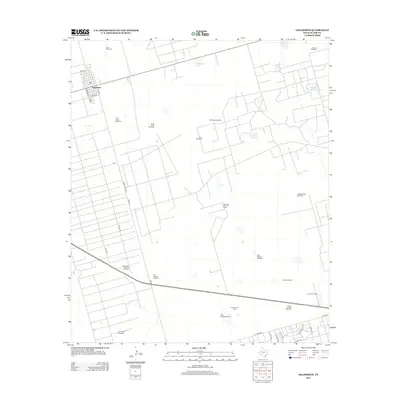
2012 Map of Goldsmith
USGS Topo · Published 2012About this map
The town of Goldsmith serves as the focal point for this 2012 West Texas landscape, defined by a grid of oil production and ranching infrastructure. The Permian Basin's industrial footprint is prominent, with the Donnelly Oil Field, Donnelly North Oil Field, and Johnson Oil Field scattered across the arid terrain. This area is characterized by a high density of named water-drawing sites, ranging from the Six Section Windmill in the south to the Collins Windmill at the northern edge, illustrating the critical role of groundwater in sustaining both cattle and petroleum operations.
Find a feature on this map
41 named features on this map. Tap any name to fly to it.
Don’t see what you’re looking for? This feature index may not catch every label — zoom into the map to look around manually.
Map Details
Editions of this 2012 Goldsmith Map
This is the sole edition of this map. No revisions or reprints were ever made.
Other maps of this area

1954 · Hobbs
USGS Topo · 1:250,000

1954 · Pecos
USGS Topo · 1:250,000

1957 · Pecos
USGS Topo · 1:250,000

1958 · Hobbs
USGS Topo · 1:250,000

1964 · Odessa SW
USGS Topo · 1:24,000

1964 · Odessa NW
USGS Topo · 1:24,000

1964 · Turnbaugh Corner
USGS Topo · 1:24,000

1964 · Douro
USGS Topo · 1:24,000

1964 · Red Lakes
USGS Topo · 1:24,000

1965 · Goldsmith
USGS Topo · 1:24,000