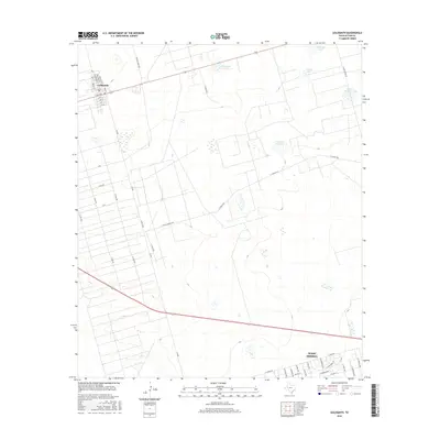
2016 Map of Goldsmith
USGS Topo · Published 2016About this map
Goldsmith and the northwestern outskirts of West Odessa anchor this West Texas landscape, showing the transition from concentrated grid-style settlements to the expansive ranching and industrial lands of Ector County. The town of Goldsmith is clearly defined by its street system, including Goldsmith St and Gulf Ave, while the southeastern corner reveals the residential expansion of West Odessa along W Yukon Rd.
Find a feature on this map
46 named features on this map. Tap any name to fly to it.
Don’t see what you’re looking for? This feature index may not catch every label — zoom into the map to look around manually.
Map Details
Editions of this 2016 Goldsmith Map
This is the sole edition of this map. No revisions or reprints were ever made.
Other maps of this area

1954 · Hobbs
USGS Topo · 1:250,000

1954 · Pecos
USGS Topo · 1:250,000

1957 · Pecos
USGS Topo · 1:250,000

1958 · Hobbs
USGS Topo · 1:250,000

1964 · Odessa SW
USGS Topo · 1:24,000

1964 · Odessa NW
USGS Topo · 1:24,000

1964 · Turnbaugh Corner
USGS Topo · 1:24,000

1964 · Douro
USGS Topo · 1:24,000

1964 · Red Lakes
USGS Topo · 1:24,000

1965 · Goldsmith
USGS Topo · 1:24,000