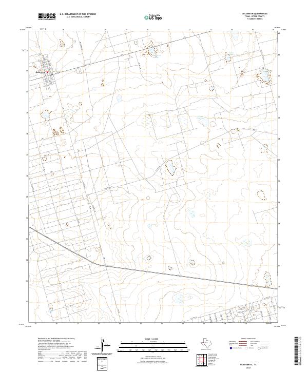
2022 Map of Goldsmith
USGS Topo · Published 2022About this map
Goldsmith serves as the primary hub of this Ector County landscape, featuring a dense residential grid with streets such as Midland St and Scharbauer St. The surrounding terrain is defined by a sparse network of ranch roads and lease access ways, reflecting the region's historical reliance on cattle ranching and resource extraction. Significant water features like Northwest Lake, James Lake, and Mowing Machine Lake are scattered across the plains, while the presence of Prairie Dog Lake indicates the local ecology. The map reveals the transition from the organized town blocks of Goldsmith to the expansive rural tracts accessed via Dwight Helms Rd and Y T Ranch Rd, showing the distinct separation between small-town settlement and the vast open range of West Texas.
Find a feature on this map
43 named features on this map. Tap any name to fly to it.
Don’t see what you’re looking for? This feature index may not catch every label — zoom into the map to look around manually.
Map Details
Editions of this 2022 Goldsmith Map
This is the sole edition of this map. No revisions or reprints were ever made.
Other maps of this area

1954 · Hobbs
USGS Topo · 1:250,000

1954 · Pecos
USGS Topo · 1:250,000

1957 · Pecos
USGS Topo · 1:250,000

1958 · Hobbs
USGS Topo · 1:250,000

1964 · Odessa SW
USGS Topo · 1:24,000

1964 · Odessa NW
USGS Topo · 1:24,000

1964 · Turnbaugh Corner
USGS Topo · 1:24,000

1964 · Douro
USGS Topo · 1:24,000

1964 · Red Lakes
USGS Topo · 1:24,000

1965 · Goldsmith
USGS Topo · 1:24,000