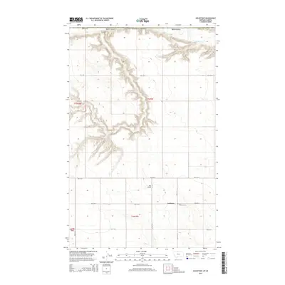
2014 Map of Goldstone
USGS Topo · Published 2014About this map
Goldstone sits at the intersection of a vast grid of section lines and rural roads in Northern Montana, just miles from the international border. The high plains landscape is defined by the incision of Milk River in the northeast and the deep winding paths of Kennedy Coulee and Flat Coulee. These coulees provide significant relief to the otherwise level topography, revealing the drainage patterns that lead toward the Canadian border. Cultural landmarks are sparse in this portion of Hill County, though the presence of Saint Wenceslaus Cem near the junction of Road 230 N and Road 105 N highlights the area's pioneer heritage and religious history. The map traces modern transit routes such as Mt-255 and Rudyard Rd N, which connect this agricultural community to the broader region.
Find a feature on this map
22 named features on this map. Tap any name to fly to it.
Don’t see what you’re looking for? This feature index may not catch every label — zoom into the map to look around manually.
Map Details
Editions of this 2014 Goldstone Map
This is the sole edition of this map. No revisions or reprints were ever made.
Other maps of this area
1919 · Alma
USGS Topo · 1:125,000
1920 · Gildford
USGS Topo · 1:125,000
1943 · Gildford
USGS Topo · 1:125,000
1954 · Shelby
USGS Topo · 1:250,000
1958 · Shelby
USGS Topo · 1:250,000
1972 · Goldstone SW
USGS Topo · 1:24,000
1972 · Mc Kinnsey Reservoir East
USGS Topo · 1:24,000
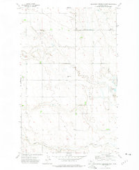
1972 · Mc Kinnsey Reservoir West
USGS Topo · 1:24,000
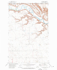
1972 · Lost River
USGS Topo · 1:24,000
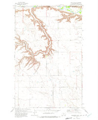
1972 · Goldstone
USGS Topo · 1:24,000