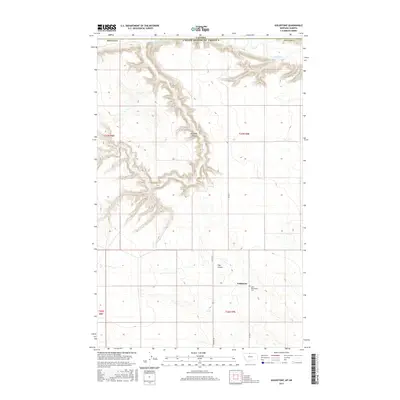
2017 Map of Goldstone
USGS Topo · Published 2017About this map
Goldstone sits atop the high plains of Hill County, Montana, just south of the international boundary between Canada and the United States of America. This landscape is defined by the deep incisions of the Milk River as it winds through the northernmost reaches of the territory, flanked by the dramatic topography of Kennedy Coulee. The agricultural grid is punctuated by local landmarks like the Saint Wenceslaus Cem, a site of particular interest for genealogists tracing the heritage of this borderland community.
Find a feature on this map
16 named features on this map. Tap any name to fly to it.
Don’t see what you’re looking for? This feature index may not catch every label — zoom into the map to look around manually.
Map Details
Editions of this 2017 Goldstone Map
This is the sole edition of this map. No revisions or reprints were ever made.
Other maps of this area
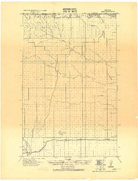
1919 · Alma
USGS Topo · 1:125,000
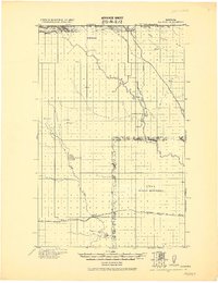
1920 · Gildford
USGS Topo · 1:125,000
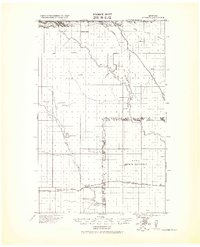
1943 · Gildford
USGS Topo · 1:125,000
1954 · Shelby
USGS Topo · 1:250,000
1958 · Shelby
USGS Topo · 1:250,000
1972 · Goldstone SW
USGS Topo · 1:24,000
1972 · Mc Kinnsey Reservoir East
USGS Topo · 1:24,000
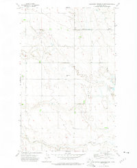
1972 · Mc Kinnsey Reservoir West
USGS Topo · 1:24,000
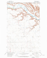
1972 · Lost River
USGS Topo · 1:24,000
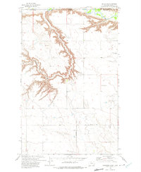
1972 · Goldstone
USGS Topo · 1:24,000