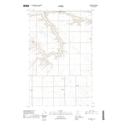
2020 Map of Goldstone
USGS Topo · Published 2020About this map
Goldstone occupies a high-plains landscape in northern Hill County, where the terrain is defined by the sharp incisions of glacial meltwater channels. The most prominent of these is the Milk River, which skirts the northern edge along the international boundary between the Canada United States of America. These deep coulees, including Kennedy Coulee and Flat Coulee, create a stark relief against the surrounding agricultural land. For local historians and genealogists, the Saint Wenceslaus Cem stands as a significant landmark of early settlement in this rural pocket. The map shows a transition from the structured township grid, represented by roads like Rudyard Rd and Hwy 255, into the irregular, eroded breaks that drop down toward the river valley.
Find a feature on this map
14 named features on this map. Tap any name to fly to it.
Don’t see what you’re looking for? This feature index may not catch every label — zoom into the map to look around manually.
Map Details
Editions of this 2020 Goldstone Map
This is the sole edition of this map. No revisions or reprints were ever made.
Other maps of this area
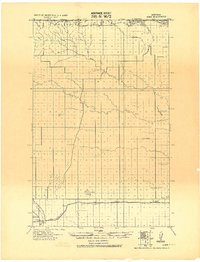
1919 · Alma
USGS Topo · 1:125,000
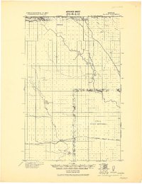
1920 · Gildford
USGS Topo · 1:125,000
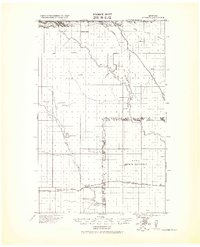
1943 · Gildford
USGS Topo · 1:125,000
1954 · Shelby
USGS Topo · 1:250,000
1958 · Shelby
USGS Topo · 1:250,000
1972 · Goldstone SW
USGS Topo · 1:24,000
1972 · Mc Kinnsey Reservoir East
USGS Topo · 1:24,000
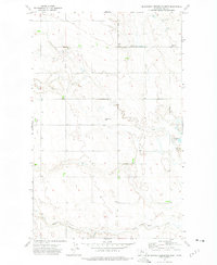
1972 · Mc Kinnsey Reservoir West
USGS Topo · 1:24,000
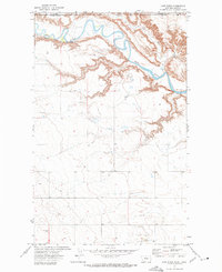
1972 · Lost River
USGS Topo · 1:24,000
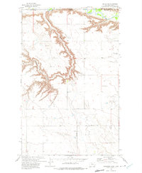
1972 · Goldstone
USGS Topo · 1:24,000