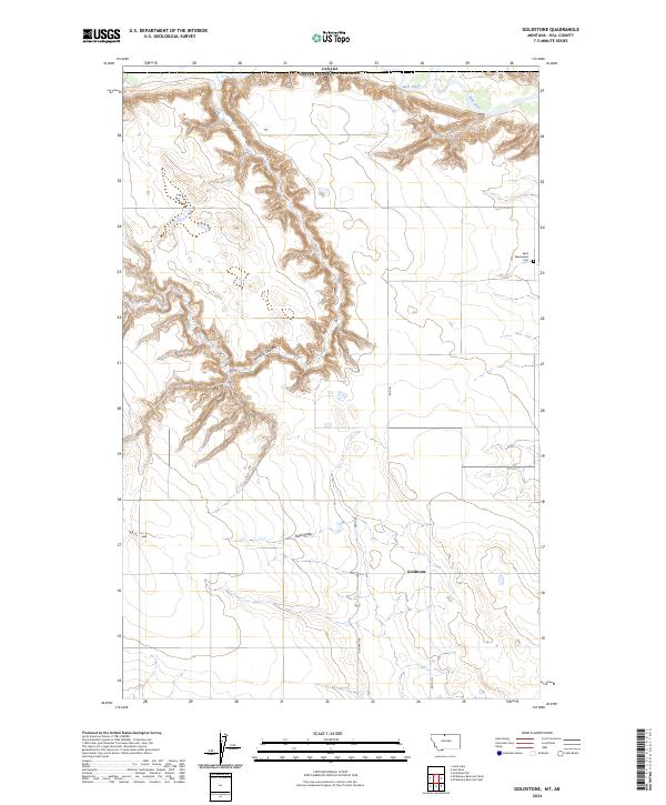
2024 Map of Goldstone
USGS Topo · Published 2024About this map
The Canada United States of America border defines the northern edge of this high plains landscape, where the deeply incised drainage of Kennedy Coulee cuts through the open terrain. This borderland region is characterized by isolated agricultural settlements and a sparse network of section-line roads, including Rudyard Rd and Rd 105 N. Local history is centered around the small community of Goldstone, which sits near the junction of Hwy 255 and Flat Coulee. To the northeast, the Milk River meanders across the international boundary, its valley providing a stark contrast to the surrounding uplands. Evidence of early settlement and community life persists in the presence of the Saint Wenceslaus Cem, situated in the eastern reaches of the township near the border, serving as a landmark for genealogists and local historians.
Find a feature on this map
14 named features on this map. Tap any name to fly to it.
Don’t see what you’re looking for? This feature index may not catch every label — zoom into the map to look around manually.
Map Details
Editions of this 2024 Goldstone Map
This is the sole edition of this map. No revisions or reprints were ever made.
Other maps of this area

1919 · Alma
USGS Topo · 1:125,000

1920 · Gildford
USGS Topo · 1:125,000

1943 · Gildford
USGS Topo · 1:125,000

1954 · Shelby
USGS Topo · 1:250,000

1958 · Shelby
USGS Topo · 1:250,000

1972 · Goldstone SW
USGS Topo · 1:24,000

1972 · Mc Kinnsey Reservoir East
USGS Topo · 1:24,000

1972 · Mc Kinnsey Reservoir West
USGS Topo · 1:24,000
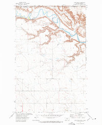
1972 · Lost River
USGS Topo · 1:24,000
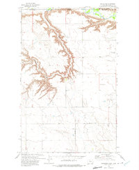
1972 · Goldstone
USGS Topo · 1:24,000