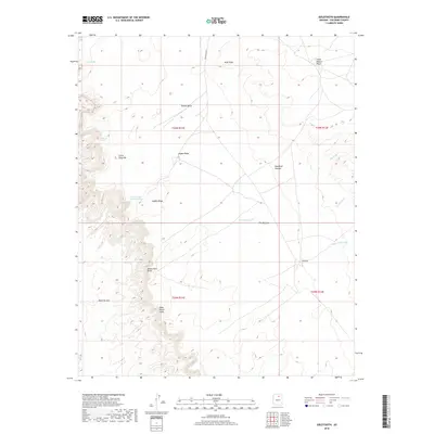
2018 Map of Goldtooth
USGS Topo · Published 2018About this map
Tohnali Mesa and the elevated expanse of the Moenkopi Plateau define this high-desert region of Coconino County. The landscape is characterized by prominent geological transitions, such as the Adeii Eechii Cliffs and Ward Terrace, which overlook lower desert washes. Isolated settlements like Goldtooth and Little Hollow Place are connected by a sparse network of tracks, including Indian Rte 6710. Water sources are vital landmarks in this arid environment, ranging from the seasonally significant The Big Lake to smaller, reliable points such as Spring on the Rock and the aptly named Water under the Rock Pond. The map reveals a distribution of seasonal dwellings or hogans, noted by local designations like Hogan Ridge and Hogan View Point.
Find a feature on this map
23 named features on this map. Tap any name to fly to it.
Don’t see what you’re looking for? This feature index may not catch every label — zoom into the map to look around manually.
Map Details
Editions of this 2018 Goldtooth Map
This is the sole edition of this map. No revisions or reprints were ever made.
Other maps of this area
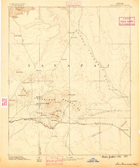
1886 · San Francisco Mtns
USGS Topo · 1:250,000
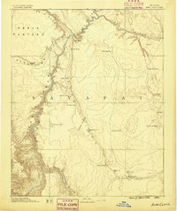
1886 · Echo Cliffs
USGS Topo · 1:250,000
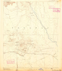
1891 · San Francisco Mtns
USGS Topo · 1:250,000
1891 · Echo Cliffs
USGS Topo · 1:250,000
1894 · San Francisco Mtns
USGS Topo · 1:250,000
1899 · San Francisco Mtns
USGS Topo · 1:250,000
1947 · Flagstaff
USGS Topo · 1:250,000
1954 · Flagstaff
USGS Topo · 1:250,000
1955 · Cameron SE
USGS Topo · 1:24,000
1955 · Cameron
USGS Topo · 1:62,500