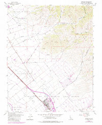
2021 Map of Gonzales
USGS Topo · Published 2021About this map
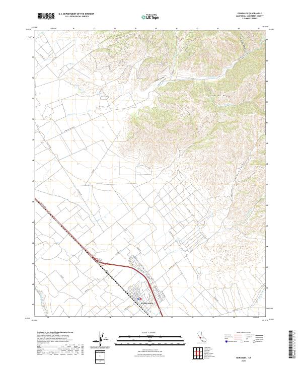
The agricultural community of Gonzales serves as the focal point for this map, situated in the fertile Salinas Valley at the foot of the Gabilan Range. The town’s layout reflects its importance to the regional viticulture and farming industry, with streets like Chardonnay, Zinfandel Dr, and Cabernet Dr indicating the local landscape's transition into prominent wine country. Transport corridors define the valley floor, including the primary route of El Camino Real S and the parallel path of Old US Hwy 101.
Find a feature on this map
47 named features on this map. Tap any name to fly to it.
Don’t see what you’re looking for? This feature index may not catch every label — zoom into the map to look around manually.
Map Details
Editions of this 2021 Gonzales Map
This is the sole edition of this map. No revisions or reprints were ever made.
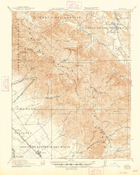
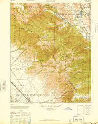
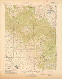
Historical Maps of Penvir Through Time
7 maps found