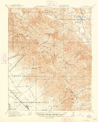
1921 Map of Gonzales
USGS Topo · Published 1948About this map
The Gabilan Range dominates the central portion of this 1920s-era landscape, where Spanish land grant legacies like Rincon de la Puente del Monte and Encinal y Buena Esperanza meet the industrial progress of the Southern Pacific railroad. The map documents a rural network of early education and ranching, featuring the Willow Grove School and Paicines Ranch in the northeast, while the Dolomite Quarry near Sulphur Canyon highlights the area's geological utility. In the Salinas Valley, the town of Gonzales serves as a hub alongside smaller stops like Penvir and Dean. The terrain transitions from the alluvial plains of the Zanjones to the complex ridges and canyons of the Cienega del Gabilan, providing a detailed record of water sources like Tres Pinos Creek and the San Benito River during a period of agricultural expansion.
Find a feature on this map
73 named features on this map. Tap any name to fly to it.
Don’t see what you’re looking for? This feature index may not catch every label — zoom into the map to look around manually.
Map Details
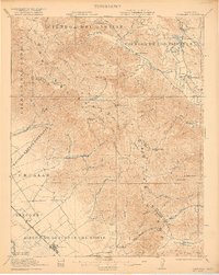
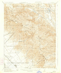
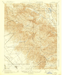
Editions of this 1921 Gonzales Map
5 editions found

Other maps of this area

1910 · Gonzales
USGS Topo · 1:31,680

1910 · Salinas
USGS Topo · 1:31,680

1910 · Soledad
USGS Topo · 1:31,680

1912 · Salinas
USGS Topo · 1:62,500

1915 · Soledad
USGS Topo · 1:62,500

1915 · San Juan Bautista
USGS Topo · 1:48,000

1917 · San Juan Bautista
USGS Topo · 1:62,500

1919 · San Benito
USGS Topo · 1:62,500

1919 · Hollister
USGS Topo · 1:48,000

1920 · Jamesburg
USGS Topo · 1:48,000