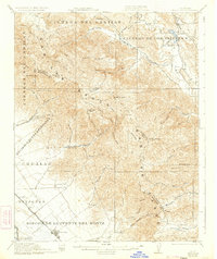
1921 Map of Gonzales
USGS Topo · Published 1934About this map
The Gabilan Range dominates the interior of this central California landscape, where the jagged divide between San Benito and Monterey counties follows the crest. To the west, the Southern Pacific railroad parallels the Salinas River, linking the farming hub of Gonzales with smaller sidings at Dean and Penvir. The map captures an era of rural school districts, identifying the Willow Grove School, Cienega School, Canyon School, and Gloria School scattered across the valleys.
Find a feature on this map
74 named features on this map. Tap any name to fly to it.
Don’t see what you’re looking for? This feature index may not catch every label — zoom into the map to look around manually.
Map Details
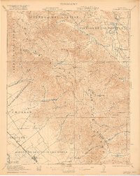
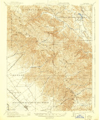
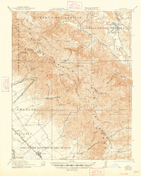
Editions of this 1921 Gonzales Map
5 editions found

Other maps of this area

1910 · Gonzales
USGS Topo · 1:31,680

1910 · Salinas
USGS Topo · 1:31,680

1910 · Soledad
USGS Topo · 1:31,680

1912 · Salinas
USGS Topo · 1:62,500

1915 · Soledad
USGS Topo · 1:62,500

1915 · San Juan Bautista
USGS Topo · 1:48,000

1917 · San Juan Bautista
USGS Topo · 1:62,500

1919 · San Benito
USGS Topo · 1:62,500

1919 · Hollister
USGS Topo · 1:48,000

1920 · Jamesburg
USGS Topo · 1:48,000