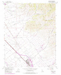
1955 Map of Gonzales
USGS Topo · Published 1984About this map
The agricultural heart of the Salinas Valley is anchored by the settlement of Gonzales, where the Southern Pacific railroad runs parallel to the Salinas River. This 1955 survey, updated in the 1980s, illustrates the deep history of land division in Monterey County through the persistent boundaries of several large Spanish and Mexican land grants, including Rincon De La Puente Del Monte, Zanjones, and Encinal Y Buena Esperanza. To the east, the topography rises sharply into the Gabin Range, carved by deep drainage features like Johnson Canyon and Chualar Canyon. Transportation routes like the Old Stage Road and Jacks Road skirt the foothills, connecting small ranching hubs and remote operations such as the Quarry near the Chualar grant boundary.
Find a feature on this map
26 named features on this map. Tap any name to fly to it.
Don’t see what you’re looking for? This feature index may not catch every label — zoom into the map to look around manually.
Map Details
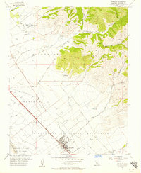
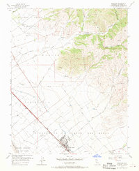
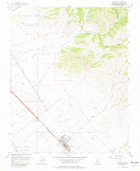
Editions of this 1955 Gonzales Map
4 editions found
Other maps of this area

1910 · Gonzales
USGS Topo · 1:31,680

1910 · Salinas
USGS Topo · 1:31,680

1910 · Soledad
USGS Topo · 1:31,680

1912 · Salinas
USGS Topo · 1:62,500

1915 · Soledad
USGS Topo · 1:62,500

1920 · Jamesburg
USGS Topo · 1:48,000

1921 · Jamesburg
USGS Topo · 1:62,500

1921 · Gonzales
USGS Topo · 1:62,500

1939 · Jamesburg
USGS Topo · 1:62,500

1940 · Salinas
USGS Topo · 1:62,500