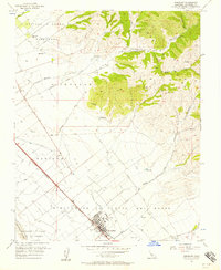
1955 Map of Gonzales
USGS Topo · Published 1957About this map
The Gonzales townsite sits at the heart of this mid-century survey, positioned between the fertile floor of the Salinas Valley and the rising slopes of the Gabilan Range. The commercial and social life of the area is tied to the Southern Pacific railroad corridor, which serves the primary settlements of Gonzales and Chualar. Extensive land grants, such as Encinal y Buena Esperanza and Rincon de la Puente del Monte, reflect the region's ranching heritage and define large-scale property boundaries that persisted well into the twentieth century.
Find a feature on this map
34 named features on this map. Tap any name to fly to it.
Don’t see what you’re looking for? This feature index may not catch every label — zoom into the map to look around manually.
Map Details
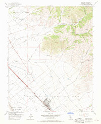
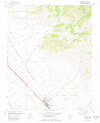
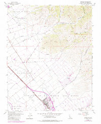
Editions of this 1955 Gonzales Map
4 editions found
Other maps of this area

1910 · Gonzales
USGS Topo · 1:31,680

1910 · Salinas
USGS Topo · 1:31,680

1910 · Soledad
USGS Topo · 1:31,680

1912 · Salinas
USGS Topo · 1:62,500

1915 · Soledad
USGS Topo · 1:62,500

1920 · Jamesburg
USGS Topo · 1:48,000

1921 · Jamesburg
USGS Topo · 1:62,500

1921 · Gonzales
USGS Topo · 1:62,500

1939 · Jamesburg
USGS Topo · 1:62,500

1940 · Salinas
USGS Topo · 1:62,500