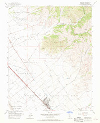
1955 Map of Gonzales
USGS Topo · Published 1970About this map
Gonzales serves as the primary agricultural hub of this mid-1950s landscape, situated along the Southern Pacific railroad line and the highway designated 101. The map reveals a highly structured environment defined by the remnants of Mexican land grants, including the Chualar Grant and the expansive Rincon de la Puente del Monte. These historic boundaries still dictate the layout of roads and field patterns in the valley.
Find a feature on this map
25 named features on this map. Tap any name to fly to it.
Don’t see what you’re looking for? This feature index may not catch every label — zoom into the map to look around manually.
Map Details
Editions of this 1955 Gonzales Map
4 editions found
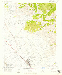
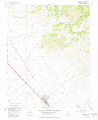
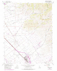
Other maps of this area

1910 · Gonzales
USGS Topo · 1:31,680

1910 · Salinas
USGS Topo · 1:31,680

1910 · Soledad
USGS Topo · 1:31,680

1912 · Salinas
USGS Topo · 1:62,500

1915 · Soledad
USGS Topo · 1:62,500

1920 · Jamesburg
USGS Topo · 1:48,000

1921 · Jamesburg
USGS Topo · 1:62,500

1921 · Gonzales
USGS Topo · 1:62,500

1939 · Jamesburg
USGS Topo · 1:62,500

1940 · Salinas
USGS Topo · 1:62,500