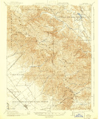
1921 Map of Gonzales
USGS Topo · Published 1941About this map
The Gabilan Range dominates this central California landscape, defining the rugged boundary between San Benito and Monterey counties. In the early twentieth century, the valley floor near the Salinas River is anchored by the rail town of Gonzales, while the eastern portion follows the winding course of the San Benito River past Paicines Ranch. This era of development is marked by a blend of large Spanish-named land grants and modern industry, such as the Dolomite Quarry situated near Grass Valley Creek. Local civic life is evidenced by a network of rural schoolhouses, including Cienega School, Willow Grove School, and Gloria School, which served the scattered families living in remote canyons like Sullivan Canyon and Indian Gulch. The Southern Pacific railroad line runs parallel to the Salinas River, providing a vital link for agricultural transport from the valley to larger markets.
Find a feature on this map
57 named features on this map. Tap any name to fly to it.
Don’t see what you’re looking for? This feature index may not catch every label — zoom into the map to look around manually.
Map Details
Editions of this 1921 Gonzales Map
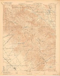
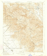
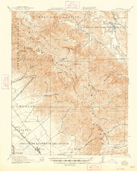
5 editions found

Other maps of this area

1910 · Gonzales
USGS Topo · 1:31,680

1910 · Salinas
USGS Topo · 1:31,680

1910 · Soledad
USGS Topo · 1:31,680

1912 · Salinas
USGS Topo · 1:62,500

1915 · Soledad
USGS Topo · 1:62,500

1915 · San Juan Bautista
USGS Topo · 1:48,000

1917 · San Juan Bautista
USGS Topo · 1:62,500

1919 · San Benito
USGS Topo · 1:62,500

1919 · Hollister
USGS Topo · 1:48,000

1920 · Jamesburg
USGS Topo · 1:48,000