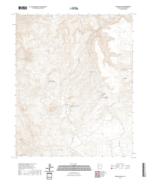
2021 Map of Gonzales Wash
USGS Topo · Published 2021About this map
The Aquarius Mountains define the high ground of this Mohave County landscape, where water sources are the primary markers of human and animal activity. In this arid interior, a network of springs and man-made tanks—including Coyote Spring, Simmons Spring, and Coters Tank—indicates the vital infrastructure required for ranching and survival. The presence of Parsons Field and named routes like Bogles Ranch Rd suggest a history of localized land use and livestock movement through the rugged breaks of the terrain.
Find a feature on this map
42 named features on this map. Tap any name to fly to it.
Don’t see what you’re looking for? This feature index may not catch every label — zoom into the map to look around manually.
Map Details
Editions of this 2021 Gonzales Wash Map
This is the sole edition of this map. No revisions or reprints were ever made.
Other maps of this area

1886 · Diamond Creek
USGS Topo · 1:250,000

1892 · Diamond Creek
USGS Topo · 1:250,000

1923 · Signal
USGS Topo · 1:250,000

1942 · Signal
USGS Topo · 1:250,000

1948 · Williams
USGS Topo · 1:250,000

1950 · Prescott
USGS Topo · 1:250,000

1954 · Prescott
USGS Topo · 1:250,000

1954 · Williams
USGS Topo · 1:250,000

1956 · Williams
USGS Topo · 1:250,000

1958 · Prescott
USGS Topo · 1:250,000