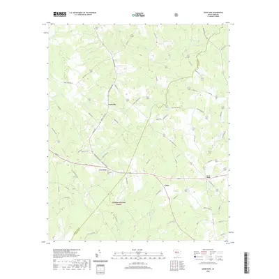
2020 Map of Good Hope
USGS Topo · Published 2020About this map
Sumter National Forest land dominates the western and southern reaches of this landscape, where a network of tributary creeks creates a dense drainage pattern. The terrain is defined by the headwaters of Ninety Six Cr, Sleepy Cr, and Mountain Cr, which carve through the countryside north of the Greenwood and Saluda County line. Small communities and historical crossroads such as Cambridge, Friendship, and Eulala are distributed along the ridges between these drainages, connected by traditional routes like the Old Charleston Rd and Martin Town Rd.
Find a feature on this map
65 named features on this map. Tap any name to fly to it.
Don’t see what you’re looking for? This feature index may not catch every label — zoom into the map to look around manually.
Map Details
Editions of this 2020 Good Hope Map
This is the sole edition of this map. No revisions or reprints were ever made.
Other maps of this area

1892 · Mc Cormick
USGS Topo · 1:125,000

1892 · Abbeville
USGS Topo · 1:125,000

1908 · Kirksey
USGS Topo · 1:24,000

1912 · Mc Cormick
USGS Topo · 1:125,000

1941 · Spartanburg
USGS Topo · 1:250,000

1949 · Ninety-Six
USGS Topo · 1:24,000

1950 · Kirksey
USGS Topo · 1:24,000

1953 · Athens
USGS Topo · 1:250,000

1953 · Spartanburg
USGS Topo · 1:250,000

1954 · Augusta
USGS Topo · 1:250,000