Loading...
Loading map...2024 Map of Good Hope
USGS Topo · Published 2024About this map
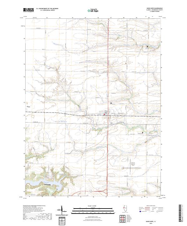
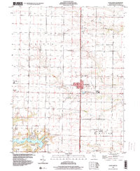
Good Hope sits at the intersection of a sprawling rural road network in McDonough County, serving as a central hub for the surrounding agricultural landscape. The terrain is defined by a series of waterways, including Farmers Fork, Town Fork, and the East Fork La Moine River, which carve subtle valleys through the prairie. Further west, the village of Sciota marks another settlement point along the grid of township roads.
Find a feature on this map
49 named features on this map. Tap any name to fly to it.
Don’t see what you’re looking for? This feature index may not catch every label — zoom into the map to look around manually.
Map Details
Date Portrayed2024
Date Published2024
PublisherU.S. Geological Survey
Map TypeTopographic
Scale1:24000
Physical Dimensions24 x 29 inches
Editions of this 2024 Good Hope Map
This is the sole edition of this map. No revisions or reprints were ever made.
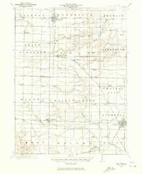
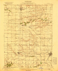
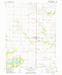
Historical Maps of Macomb Through Time
5 maps found
Featured Locations
Source Details
SourceU.S. Geological Survey
CopyrightPublic Domain