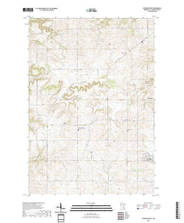
2022 Map of Goodhue West
USGS Topo · Published 2022About this map
Saint Columbkill's Catholic Church Cem stands as a central landmark in this agricultural landscape of Goodhue County, marking the cultural and religious roots of the rural community. The terrain is defined by the winding paths of Hay Cr and Spring Cr, which cut through the high ground south of the Mississippi River valley. This 2022 survey illustrates the enduring layout of township roads and section lines that have organized these uplands since the initial 19th-century settlement.
Find a feature on this map
50 named features on this map. Tap any name to fly to it.
Don’t see what you’re looking for? This feature index may not catch every label — zoom into the map to look around manually.
Map Details
Editions of this 2022 Goodhue West Map
This is the sole edition of this map. No revisions or reprints were ever made.
Other maps of this area

1944 · Red Wing
USGS Topo · 1:62,500

1952 · Red Wing
USGS Topo · 1:62,500

1953 · Saint Paul
USGS Topo · 1:250,000

1957 · Hastings
USGS Topo · 1:62,500

1959 · Saint Paul
USGS Topo · 1:250,000

1968 · Goodhue East
USGS Topo · 1:24,000

1968 · Zumbrota
USGS Topo · 1:24,000

1968 · Mazeppa
USGS Topo · 1:24,000

1968 · Wanamingo
USGS Topo · 1:24,000

1968 · White Rock
USGS Topo · 1:24,000