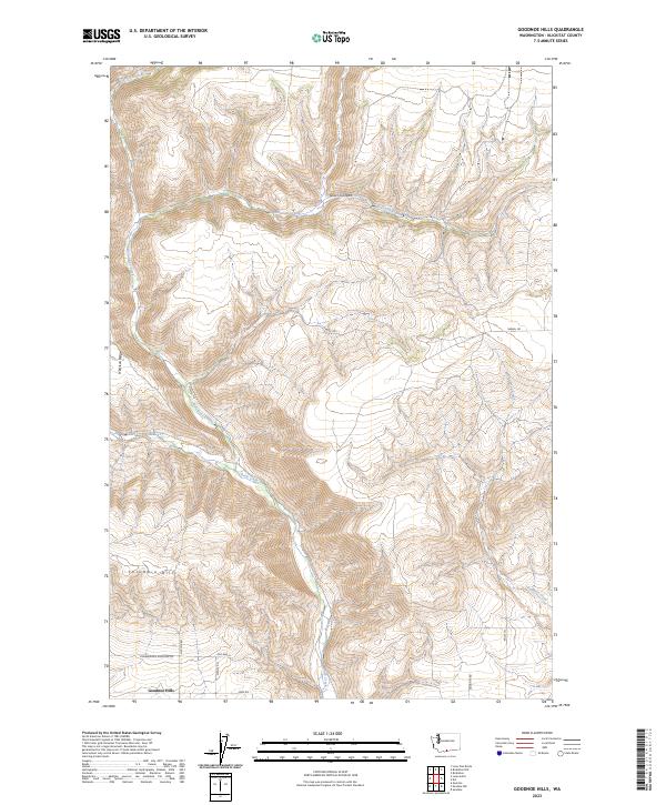
2023 Map of Goodnoe Hills
USGS Topo · Published 2023About this map
Goodnoe Hills and the southern slopes of the Columbia Hills dominate this portion of Klickitat County, where the landscape is defined by deep drainage systems and high ridges. The map reveals a complex network of seasonal and perennial watercourses, most notably the winding path of Rock Creek and the steep descent of Glass Canyon. These topographical features reflect the geological transition from the high plateaus toward the Columbia River corridor.
Find a feature on this map
23 named features on this map. Tap any name to fly to it.
Don’t see what you’re looking for? This feature index may not catch every label — zoom into the map to look around manually.
Map Details
Editions of this 2023 Goodnoe Hills Map
This is the sole edition of this map. No revisions or reprints were ever made.
Other maps of this area

1916 · Arlington
USGS Topo · 1:125,000

1953 · The Dalles
USGS Topo · 1:250,000

1956 · The Dalles
USGS Topo · 1:250,000

1957 · The Dalles
USGS Topo · 1:250,000

1957 · Wasco
USGS Topo · 1:62,500

1957 · Satus Pass
USGS Topo · 1:62,500

1965 · Goodnoe Hills
USGS Topo · 1:24,000
1965 · Bickleton
USGS Topo · 1:24,000
1965 · Dot
USGS Topo · 1:24,000
1965 · Bickleton NW
USGS Topo · 1:24,000