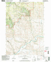
2004 Map of Goodrich
USGS Topo · Published 2007About this map
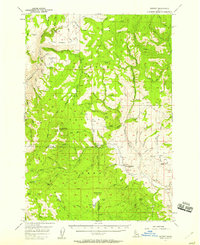
The Weiser River snakes through the southern reaches of this landscape, anchoring the small settlement of Goodrich and the nearby locality of Bacon. This 2004 revision by the USDA Forest Service highlights the complex transition from the river valley to the high elevations of the Cuddy Mountains. Much of the northern terrain is managed as part of the Payette National Forest under the Council Ranger District, where the topography is defined by sharp drainages like Orchid Canyon and Skunk Gulch.
Find a feature on this map
24 named features on this map. Tap any name to fly to it.
Don’t see what you’re looking for? This feature index may not catch every label — zoom into the map to look around manually.
Map Details
Editions of this 2004 Goodrich Map
This is the sole edition of this map. No revisions or reprints were ever made.
Other maps of this area

1911 · Meadows
USGS Topo · 1:125,000
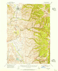
1954 · Council
USGS Topo · 1:62,500
1954 · New Meadows
USGS Topo · 1:62,500

1955 · Baker
USGS Topo · 1:250,000
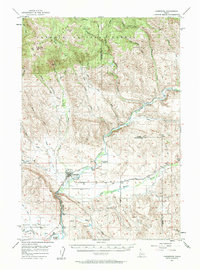
1957 · Cambridge
USGS Topo · 1:62,500
1957 · Hornet
USGS Topo · 1:62,500

1959 · Baker
USGS Topo · 1:250,000

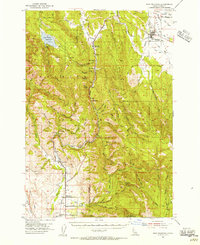
1980 · McCall
USGS Topo · 1:100,000
1986 · Peck Mountain
USGS Topo · 1:24,000
1986 · Indian Valley
USGS Topo · 1:24,000