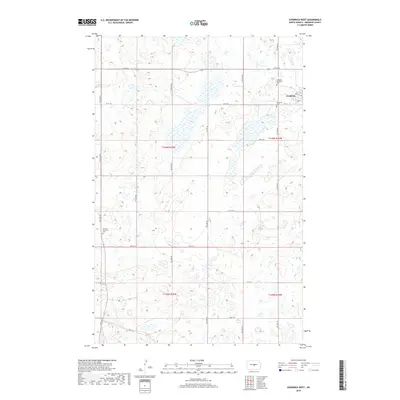
2018 Map of Goodrich West
USGS Topo · Published 2018About this map
Goodrich serves as the primary hub in this Sheridan County landscape, where the town's limits meet the rural expanse of the Northern Plains. The map reveals a high concentration of small, unnamed wetlands and prairie potholes that define the local geography, punctuated by a rigid grid of section lines and secondary routes like 5th St NE and 14th Ave NE. For those tracing local heritage, the map identifies three distinct burial grounds: the Goodrich Cem, Goodrich Adventist Cem, and the more isolated Denhoff Adventist Cem to the west. This layout reflects the early twentieth-century settlement patterns of the region, where religious affiliation often dictated the establishment of community cemeteries along the section roads. The survey captures the intersection of several townships, including t146n r75w, providing a clear view of the land divisions and the sparse but deliberate placement of homesteads and agricultural infrastructure.
Find a feature on this map
28 named features on this map. Tap any name to fly to it.
Don’t see what you’re looking for? This feature index may not catch every label — zoom into the map to look around manually.
Map Details
Editions of this 2018 Goodrich West Map
This is the sole edition of this map. No revisions or reprints were ever made.
Other maps of this area
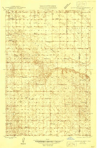
1946 · Sheyenne Lake
USGS Topo · 1:48,000
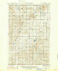
1947 · Lincoln Valley
USGS Topo · 1:62,500
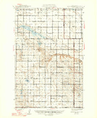
1947 · Sheyenne Lake
USGS Topo · 1:62,500
1954 · McClusky
USGS Topo · 1:250,000
1958 · McClusky
USGS Topo · 1:250,000
1960 · Lincoln Valley SE
USGS Topo · 1:24,000
1960 · Florence Lake
USGS Topo · 1:24,000
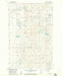
1960 · Denhoff
USGS Topo · 1:24,000
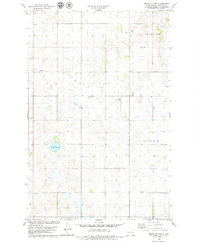
1978 · Mertz Slough
USGS Topo · 1:24,000
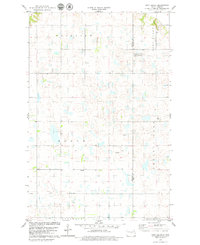
1978 · Pony Gulch
USGS Topo · 1:24,000