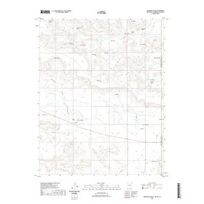
2020 Map of Goodson School
USGS Topo · Published 2020About this map
Black Mesa dominates the northern horizon of this Cimarron County landscape, where the high plains of Oklahoma meet the New Mexico border. The arid environment is defined by a complex network of seasonal drainages and irrigation efforts, including Smiley Arroyo, Bontz Arroyo, and Roberts Ditch. These waterways feed into the Dry Cimarron River, which cuts through the center of the quadrangle. The map reveals the vital role of water management in this high-elevation ranching country, shown through features like Bramlett Spring and the Wiggins Ralley Ditch Number 1.
Find a feature on this map
48 named features on this map. Tap any name to fly to it.
Don’t see what you’re looking for? This feature index may not catch every label — zoom into the map to look around manually.
Map Details
Editions of this 2020 Goodson School Map
This is the sole edition of this map. No revisions or reprints were ever made.
Other maps of this area

1891 · Springfield
USGS Topo · 1:125,000

1892 · Mt Carrizo
USGS Topo · 1:125,000

1893 · Springfield
USGS Topo · 1:125,000

1954 · Dalhart
USGS Topo · 1:250,000

1955 · La Junta
USGS Topo · 1:250,000

1958 · La Junta
USGS Topo · 1:250,000

1958 · Dalhart
USGS Topo · 1:250,000

1962 · Dalhart
USGS Topo · 1:250,000

1968 · La Junta
USGS Topo · 1:250,000

1968 · Kenton
USGS Topo · 1:24,000