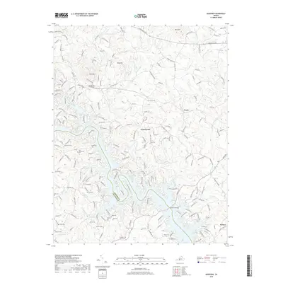
2019 Map of Goodview
USGS Topo · Published 2019About this map
Smith Mountain Lake dominates the southern half of this landscape, its intricate, finger-like shoreline marking the border between Bedford Co and Franklin Co. The rugged geography of the Blue Ridge foothills is evident in the elevations of Board Mtn and Kasey Mtn, which overlook the small settlement of Goodview. This area is particularly dense with family cemeteries, suggesting deep-rooted ancestral ties to the land. Researchers can find many such sites tucked away on private properties and ridges, including the Ellis-Blankenship Cem, Ferguson-Hatcher Cem, and Booth-Joplin Cem. The road network, including Goodview Rd and Stewartsville Rd, follows the natural contours of the ridges and valleys, connecting the dispersed communities of Meador and Diamond Hill to the waterfront at Hales Ford Bridge.
Find a feature on this map
195 named features on this map. Tap any name to fly to it.
Don’t see what you’re looking for? This feature index may not catch every label — zoom into the map to look around manually.
Map Details
Editions of this 2019 Goodview Map
This is the sole edition of this map. No revisions or reprints were ever made.
Other maps of this area

1890 · Roanoke
USGS Topo · 1:125,000

1891 · Roanoke
USGS Topo · 1:125,000

1929 · Roanoke
USGS Topo · 1:48,000

1933 · Roanoke
USGS Topo · 1:62,500

1947 · Roanoke
USGS Topo · 1:250,000

1950 · Peaks of Otter
USGS Topo · 1:62,500

1951 · Boones Mill
USGS Topo · 1:62,500

1951 · Moneta
USGS Topo · 1:62,500

1959 · Roanoke
USGS Topo · 1:250,000

1963 · Roanoke
USGS Topo · 1:250,000