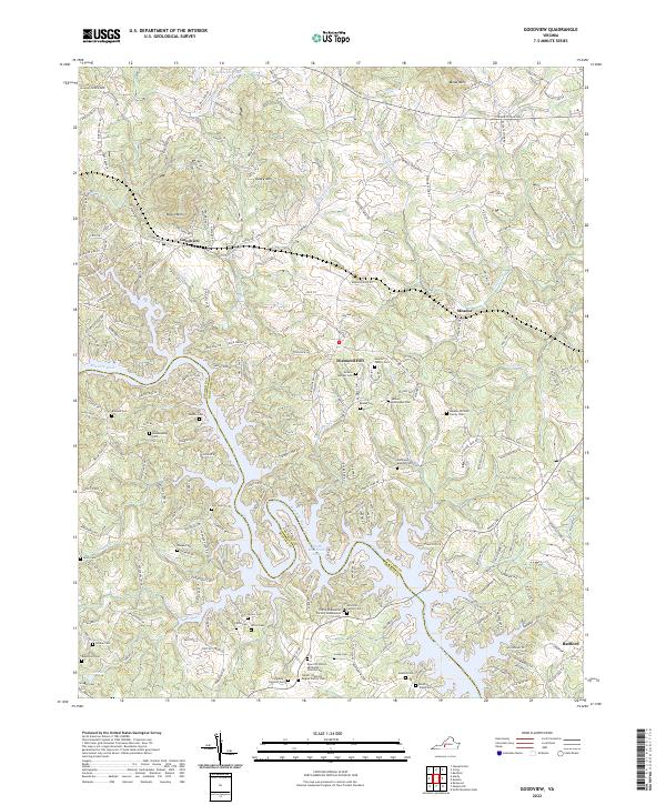
2022 Map of Goodview
USGS Topo · Published 2022About this map
Smith Mountain Lake dominates the southern portion of this landscape, its intricate shoreline following the contours of the old river valleys where Hunting Cr and Indian Creek once flowed freely. The terrain is defined by the prominent heights of Board Mtn and Kasey Mtn, providing a backdrop to the communities of Goodview and Meador. The map reveals a dense network of family history, marked by numerous small burial grounds such as the Basham Cem, Ellis - Blankenship Cem, and the Turner - Hancock - Zeigler Family Cem.
Find a feature on this map
199 named features on this map. Tap any name to fly to it.
Don’t see what you’re looking for? This feature index may not catch every label — zoom into the map to look around manually.
Map Details
Editions of this 2022 Goodview Map
This is the sole edition of this map. No revisions or reprints were ever made.
Other maps of this area

1890 · Roanoke
USGS Topo · 1:125,000

1891 · Roanoke
USGS Topo · 1:125,000

1929 · Roanoke
USGS Topo · 1:48,000

1933 · Roanoke
USGS Topo · 1:62,500

1947 · Roanoke
USGS Topo · 1:250,000

1950 · Peaks of Otter
USGS Topo · 1:62,500

1951 · Boones Mill
USGS Topo · 1:62,500

1951 · Moneta
USGS Topo · 1:62,500

1959 · Roanoke
USGS Topo · 1:250,000

1963 · Roanoke
USGS Topo · 1:250,000