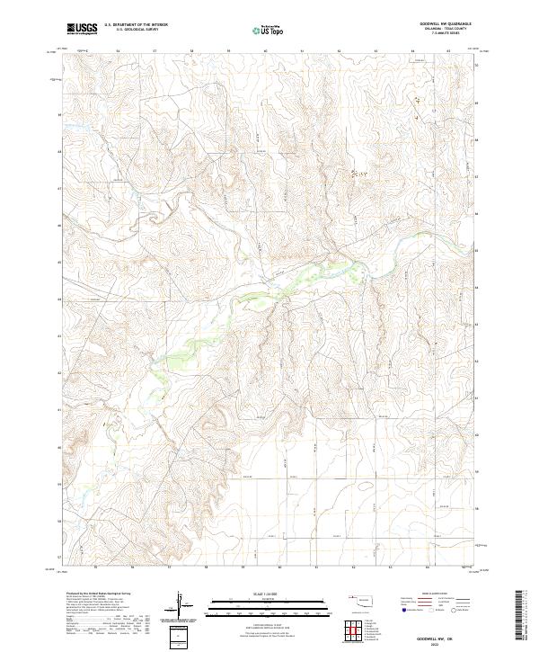
2022 Map of Goodwell NW
USGS Topo · Published 2022About this map
Beaver River and its winding tributaries define the topography of this section of the Oklahoma Panhandle in Texas County. The landscape is characterized by the convergence of several drainages, most notably Tepee Creek (also labeled Tepee Cr) which flows from the west to join the main river channel. Further north, the headwaters of Spring Area Cr cut through the high plains, illustrating the erosion patterns that have shaped the local terrain.
Find a feature on this map
33 named features on this map. Tap any name to fly to it.
Don’t see what you’re looking for? This feature index may not catch every label — zoom into the map to look around manually.
Map Details
Editions of this 2022 Goodwell NW Map
This is the sole edition of this map. No revisions or reprints were ever made.
Other maps of this area

1954 · Perryton
USGS Topo · 1:250,000

1958 · Perryton
USGS Topo · 1:250,000

1973 · Texhoma NE
USGS Topo · 1:24,000

1973 · Goodwell SE
USGS Topo · 1:24,000

1973 · Texhoma North
USGS Topo · 1:24,000

1973 · Goodwell NW
USGS Topo · 1:24,000

1973 · Eva SE
USGS Topo · 1:24,000

1973 · Hough SW
USGS Topo · 1:24,000

1973 · Goodwell
USGS Topo · 1:24,000

1973 · Goodwell NE
USGS Topo · 1:24,000