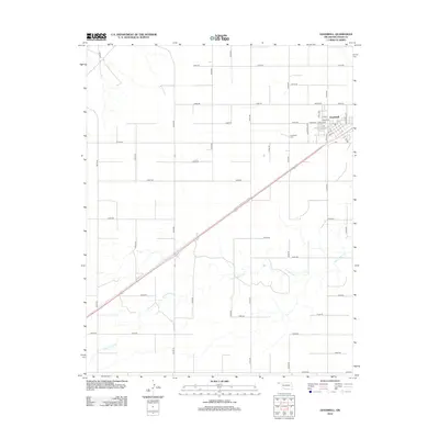
2012 Map of Goodwell
USGS Topo · Published 2012About this map
The Oklahoma Panhandle State University campus serves as the centerpiece of Goodwell, anchoring the high plains landscape of Texas County. This 2012 survey reveals the town's grid and its relationship to the surrounding agricultural landscape, with streets like Aggie Ave, Eagle Blvd, and A and M St reflecting the institutional heritage of the region. To the west of the main settlement lies the Goodwell Cemetery, a site of significant genealogical interest for those researching early families in the Oklahoma Panhandle.
Find a feature on this map
41 named features on this map. Tap any name to fly to it.
Don’t see what you’re looking for? This feature index may not catch every label — zoom into the map to look around manually.
Map Details
Editions of this 2012 Goodwell Map
This is the sole edition of this map. No revisions or reprints were ever made.
Other maps of this area

1954 · Perryton
USGS Topo · 1:250,000

1958 · Perryton
USGS Topo · 1:250,000

1973 · Texhoma NE
USGS Topo · 1:24,000

1973 · Goodwell SE
USGS Topo · 1:24,000

1973 · Texhoma North
USGS Topo · 1:24,000

1973 · Goodwell NW
USGS Topo · 1:24,000

1973 · Goodwell
USGS Topo · 1:24,000

1973 · Goodwell NE
USGS Topo · 1:24,000

1974 · Sunray 1 NW
USGS Topo · 1:24,000

1974 · Texhoma South
USGS Topo · 1:24,000