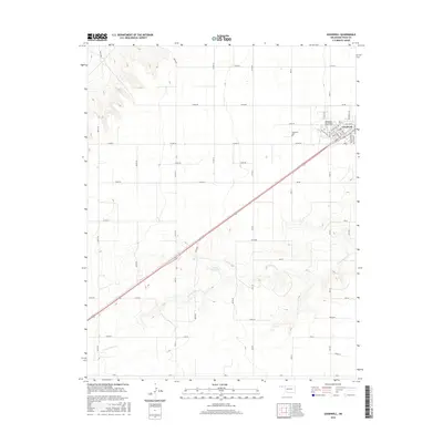
2016 Map of Goodwell
USGS Topo · Published 2016About this map
The high plains of Texas County center on Goodwell, where the influence of the Oklahoma Panhandle State University campus and a grid of rural roads define the settlement pattern. This landscape is characterized by a mix of agricultural infrastructure and the occasional break in terrain provided by ephemeral watercourses. To the south of the town center, the N Fork Frisco Creek winds through the southern portion of the quadrangle, eventually reaching the Etling Reservoir. This area reflects the mid-20th-century development of water management in the Oklahoma Panhandle, where small reservoirs provide critical points of interest in an otherwise linear landscape. Local history and genealogy researchers will find the Goodwell Cemetery and the campus layout significant for tracing the community's academic and civic roots.
Find a feature on this map
56 named features on this map. Tap any name to fly to it.
Don’t see what you’re looking for? This feature index may not catch every label — zoom into the map to look around manually.
Map Details
Editions of this 2016 Goodwell Map
This is the sole edition of this map. No revisions or reprints were ever made.
Other maps of this area

1954 · Perryton
USGS Topo · 1:250,000

1958 · Perryton
USGS Topo · 1:250,000

1973 · Texhoma NE
USGS Topo · 1:24,000

1973 · Goodwell SE
USGS Topo · 1:24,000

1973 · Texhoma North
USGS Topo · 1:24,000

1973 · Goodwell NW
USGS Topo · 1:24,000

1973 · Goodwell
USGS Topo · 1:24,000

1973 · Goodwell NE
USGS Topo · 1:24,000

1974 · Sunray 1 NW
USGS Topo · 1:24,000

1974 · Texhoma South
USGS Topo · 1:24,000