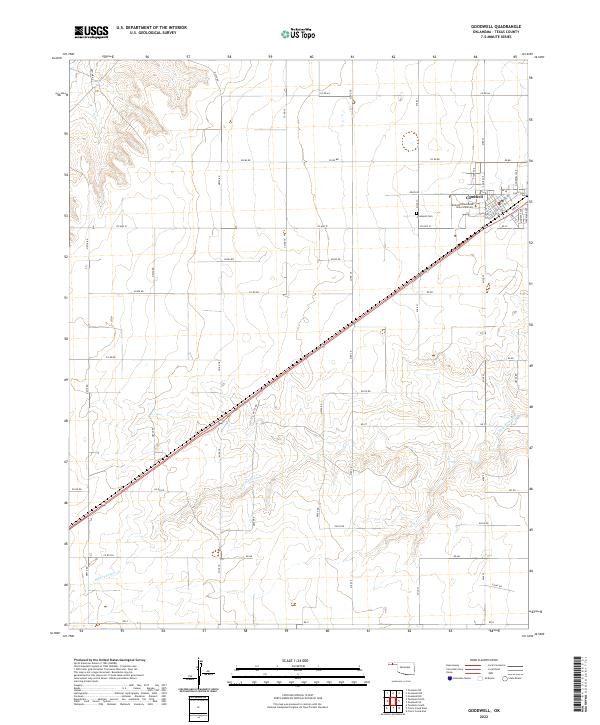
2022 Map of Goodwell
USGS Topo · Published 2022About this map
Oklahoma Panhandle State University serves as a central landmark in this portion of the Oklahoma Panhandle, located within the town of Goodwell. The community layout is clearly defined by its educational and residential grid, including streets like College Ave and Eagle Blvd. To the southwest of the main settlement, the Goodwell Cem sits on the high plains, overlooking the surrounding agricultural sections. The landscape is characterized by the drainage of the N Fork Frisco Cr, which meanders across the southern sections of the quadrangle. This 2022 survey illustrates the enduring relationship between the university and the surrounding Texas County landscape, showing the precise network of county roads such as Co Hwy 51 and Co Rd BB that connect the remote homesteads and ranches to the regional center of Goodwell.
Find a feature on this map
58 named features on this map. Tap any name to fly to it.
Don’t see what you’re looking for? This feature index may not catch every label — zoom into the map to look around manually.
Map Details
Editions of this 2022 Goodwell Map
This is the sole edition of this map. No revisions or reprints were ever made.
Other maps of this area

1954 · Perryton
USGS Topo · 1:250,000

1958 · Perryton
USGS Topo · 1:250,000

1973 · Texhoma NE
USGS Topo · 1:24,000

1973 · Goodwell SE
USGS Topo · 1:24,000

1973 · Texhoma North
USGS Topo · 1:24,000

1973 · Goodwell NW
USGS Topo · 1:24,000

1973 · Goodwell
USGS Topo · 1:24,000

1973 · Goodwell NE
USGS Topo · 1:24,000

1974 · Sunray 1 NW
USGS Topo · 1:24,000

1974 · Texhoma South
USGS Topo · 1:24,000