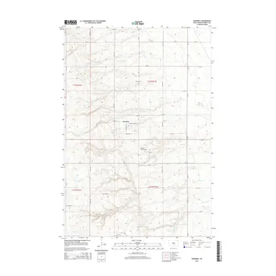
2015 Map of Goodwill
USGS Topo · Published 2015About this map
Goodwill serves as the focal point of this Roberts County landscape, situated atop the prominent geological upland of the Coteau des Prairies. This plateau region is defined by its complex drainage patterns, where headwater streams like Goodwill Cr, Agency Cr, and Hines Cr carve their paths through the undulating terrain. The layout of the area reflects a transition from traditional section-line rural roads to the more specialized routes within the settlement, including Tiospa Zina Dr and Veterans Memorial Dr.
Find a feature on this map
30 named features on this map. Tap any name to fly to it.
Don’t see what you’re looking for? This feature index may not catch every label — zoom into the map to look around manually.
Map Details
Editions of this 2015 Goodwill Map
This is the sole edition of this map. No revisions or reprints were ever made.
Other maps of this area
1916 · Peever
USGS Topo · 1:62,500
1918 · Peever
USGS Topo · 1:62,500
1953 · Milbank
USGS Topo · 1:250,000
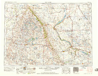
1958 · Milbank
USGS Topo · 1:250,000
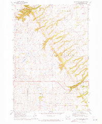
1970 · Whitestone Lake
USGS Topo · 1:24,000
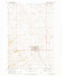
1970 · Sisseton
USGS Topo · 1:24,000
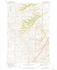
1970 · Summit NE
USGS Topo · 1:24,000
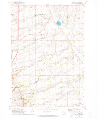
1970 · Wilmot NW
USGS Topo · 1:24,000
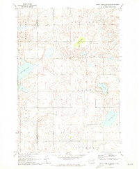
1970 · Enemy Swim Lake East
USGS Topo · 1:24,000
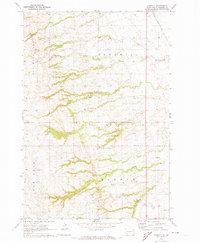
1970 · Goodwill
USGS Topo · 1:24,000
Featured Places
- Goodwill, Old Agency District
- Agency Village, Old Agency District
- Old Agency District, SD
- Roberts County, SD
- United States