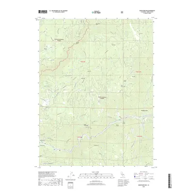
2018 Map of Goodyears Bar
USGS Topo · Published 2018About this map
The North Yuba River cuts through the center of this mountain landscape, where the historic settlement of Goodyears Bar sits at the confluence with Goodyears Cr. This survey illustrates the deep-rooted mining and ranching heritage of Sierra County, showing the proximity of Halls Ranch and the Eureka Cem to the rugged ridges that defined early California industry. Narrow corridors like Eureka Mine Rd and Brandy City RD navigate the steep terrain between Fiddle Creek Ridge and Snowden Hill.
Find a feature on this map
61 named features on this map. Tap any name to fly to it.
Don’t see what you’re looking for? This feature index may not catch every label — zoom into the map to look around manually.
Map Details
Editions of this 2018 Goodyears Bar Map
This is the sole edition of this map. No revisions or reprints were ever made.
Other maps of this area

1888 · Smartsville
USGS Topo · 1:125,000

1888 · Bidwell Bar
USGS Topo · 1:125,000

1891 · Bidwell Bar
USGS Topo · 1:125,000
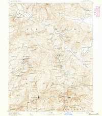
1891 · Downieville
USGS Topo · 1:125,000

1891 · Colfax
USGS Topo · 1:125,000

1891 · Smartsville
USGS Topo · 1:125,000

1892 · Smartsville
USGS Topo · 1:125,000

1892 · Colfax
USGS Topo · 1:125,000
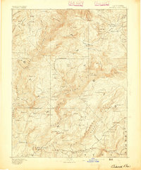
1893 · Bidwell Bar
USGS Topo · 1:125,000
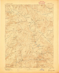
1893 · Downieville
USGS Topo · 1:125,000