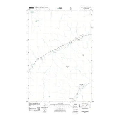
2011 Map of Goose Prairie
USGS Topo · Published 2011About this map
Goose Prairie and the mountain settlement of Pleasant Valley sit at the center of this mountain landscape, where the American River and Bumping River carve through the high terrain of Yakima County. This 2011 survey documents a region defined by its recreational infrastructure and natural landmarks, including Camp Fife and several designated sites like the Hells Crossing Campground and Pleasant Valley Campground. The geography is dominated by significant elevations such as Fifes Peaks to the north and the prominent American Ridge to the south. Hikers and researchers can trace numerous water features including Union Creek Falls, Pleasant Valley Lake, and high-altitude basins like Sheepherder Lake. The map details the network of Forest Service routes and local roads, such as Route 1800 and Route 391, which provide access to these remote valleys and peaks during the early 21st century.
Find a feature on this map
35 named features on this map. Tap any name to fly to it.
Don’t see what you’re looking for? This feature index may not catch every label — zoom into the map to look around manually.
Map Details
Editions of this 2011 Goose Prairie Map
This is the sole edition of this map. No revisions or reprints were ever made.
Other maps of this area

1901 · Snoqualmie Pass
USGS Topo · 1:125,000

1902 · Mount Aix
USGS Topo · 1:125,000

1903 · Snoqualmie
USGS Topo · 1:125,000

1904 · Mt Aix
USGS Topo · 1:125,000

1950 · Yakima
USGS Topo · 1:250,000

1957 · Wenatchee
USGS Topo · 1:250,000

1958 · Yakima
USGS Topo · 1:250,000

1961 · Yakima
USGS Topo · 1:250,000

1961 · Easton
USGS Topo · 1:62,500

1962 · Bumping Lake
USGS Topo · 1:62,500