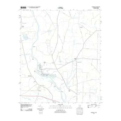
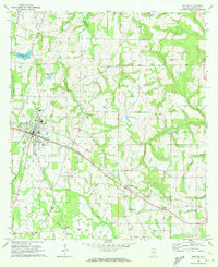
2011 Map of Gordon
USGS Topo · Published 2011About this map
The Chattahoochee River carves the border between Alabama and Georgia in this 2011 survey, defining a landscape of river landings and agricultural industry. The town of Gordon serves as a central hub, connected to the river by Gordon Landing and supported by its own Gordon Post Office and Gordon Cemetery. To the south, Alaga sits along Old US Highway 84, illustrating the importance of transport corridors near the river's edge.
Find a feature on this map
62 named features on this map. Tap any name to fly to it.
Don’t see what you’re looking for? This feature index may not catch every label — zoom into the map to look around manually.
Map Details
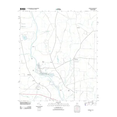
Editions of this 2011 Gordon Map
2 editions found
Other maps of this area

1953 · Dothan
USGS Topo · 1:250,000

1954 · Dothan
USGS Topo · 1:250,000

1955 · Dothan
USGS Topo · 1:250,000

1970 · Gordon
USGS Topo · 1:24,000
1970 · Saffold
USGS Topo · 1:24,000

1970 · Sigma
USGS Topo · 1:24,000

1970 · Columbia
USGS Topo · 1:24,000
1970 · Grangeburg
USGS Topo · 1:24,000
1970 · Ashford
USGS Topo · 1:24,000

1973 · Blakely South
USGS Topo · 1:24,000