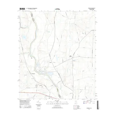
2014 Map of Gordon
USGS Topo · Published 2014About this map
The Chattahoochee River forms a wide, meandering boundary between Alabama and Georgia, defining the landscape around Gordon and Alaga. This riverine corridor is marked by significant topographical features such as Smith Bend and the drainage of Howards Mill Cr. The settlement pattern follows a mix of river-focused and road-based development, with small communities like Philadelphia and Liberty situated along a network of local routes including N State Highway 95 and GA Highway 370.
Find a feature on this map
75 named features on this map. Tap any name to fly to it.
Don’t see what you’re looking for? This feature index may not catch every label — zoom into the map to look around manually.
Map Details
Editions of this 2014 Gordon Map
This is the sole edition of this map. No revisions or reprints were ever made.
Other maps of this area

1953 · Dothan
USGS Topo · 1:250,000

1954 · Dothan
USGS Topo · 1:250,000

1955 · Dothan
USGS Topo · 1:250,000

1970 · Gordon
USGS Topo · 1:24,000
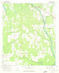
1970 · Saffold
USGS Topo · 1:24,000

1970 · Sigma
USGS Topo · 1:24,000

1970 · Columbia
USGS Topo · 1:24,000
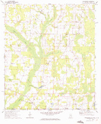
1970 · Grangeburg
USGS Topo · 1:24,000
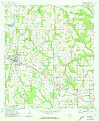
1970 · Ashford
USGS Topo · 1:24,000

1973 · Blakely South
USGS Topo · 1:24,000