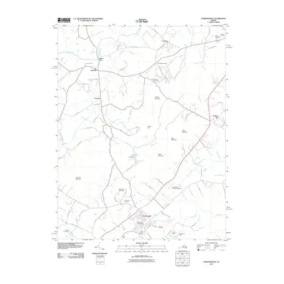
2010 Map of Gordonsville
USGS Topo · Published 2010About this map
Gordonsville anchors the southern portion of this landscape, serving as a historic nexus where regional roads converge near the Gordonsville Post Office and Woodbury Cemetery. Further north, the legacy of American history is visible at Montpelier Station and the James Madison Cemetery, situated near the base of Chicken Mountain. The terrain is defined by a series of low peaks including Gibson Mountain, Scott Mountain, and Merry Mountain, which overlook a complex network of waterways such as the Rapidan River, Barbour Run, and Blue Run.
Find a feature on this map
78 named features on this map. Tap any name to fly to it.
Don’t see what you’re looking for? This feature index may not catch every label — zoom into the map to look around manually.
Map Details
Editions of this 2010 Gordonsville Map
This is the sole edition of this map. No revisions or reprints were ever made.
Other maps of this area

1892 · Gordonsville
USGS Topo · 1:125,000

1930 · Madison
USGS Topo · 1:48,000

1933 · Madison
USGS Topo · 1:62,500

1935 · Charlottesville
USGS Topo · 1:62,500

1939 · Charlottesville
USGS Topo · 1:62,500

1949 · Charlottesville
USGS Topo · 1:250,000

1949 · Charlottesville
USGS Topo · 1:62,500

1956 · Charlottesville
USGS Topo · 1:250,000

1961 · Gordonsville
USGS Topo · 1:62,500

1961 · Rapidan
USGS Topo · 1:62,500