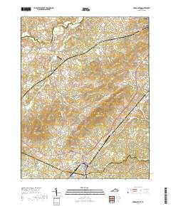
2019 Map of Gordonsville
USGS Topo · Published 2019About this map
Gordonsville and Orange anchor this 2019 survey, representing a landscape where Piedmont history and modern transportation intersect. The map highlights the extensive estate grounds of Montpelier Station, including the James Madison Cem, a site of significant national heritage. This area is characterized by a mix of historical road networks like the S Blue Ridge Tpke and Spotswood Trl, which connect long-standing communities such as Liberty Mills and Somerset.
Find a feature on this map
144 named features on this map. Tap any name to fly to it.
Don’t see what you’re looking for? This feature index may not catch every label — zoom into the map to look around manually.
Map Details
Editions of this 2019 Gordonsville Map
This is the sole edition of this map. No revisions or reprints were ever made.
Other maps of this area

1892 · Gordonsville
USGS Topo · 1:125,000

1930 · Madison
USGS Topo · 1:48,000

1933 · Madison
USGS Topo · 1:62,500

1935 · Charlottesville
USGS Topo · 1:62,500

1939 · Charlottesville
USGS Topo · 1:62,500

1949 · Charlottesville
USGS Topo · 1:250,000

1949 · Charlottesville
USGS Topo · 1:62,500

1956 · Charlottesville
USGS Topo · 1:250,000

1961 · Gordonsville
USGS Topo · 1:62,500

1961 · Rapidan
USGS Topo · 1:62,500