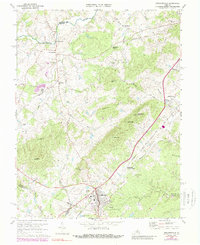
2022 Map of Gordonsville
USGS Topo · Published 2022About this map
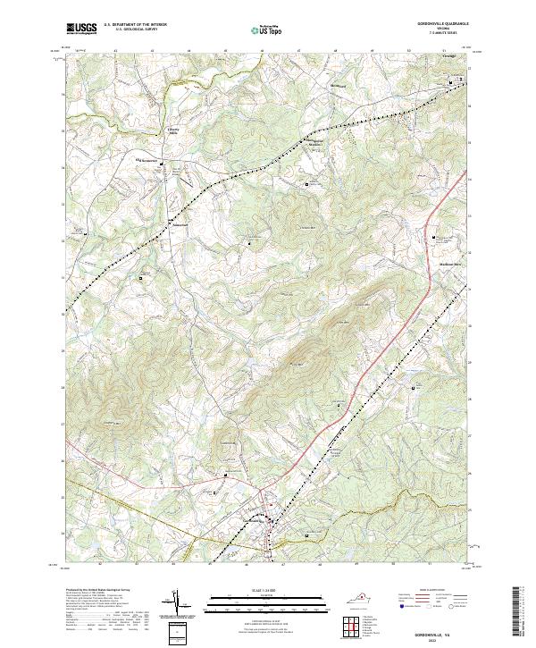
The town of Gordonsville anchors this survey of the Virginia Piedmont, where historic transportation routes and family legacies define the landscape. This region, where Orange and Albemarle Co meet, is characterized by a dense concentration of lineage-rich sites, including the Lee Family Cem near Old Somerset and the Madison Family Cem overlooking Poplar Run. The topography is defined by the prominent peaks of the Southwest Mountains, featuring Chicken Mtn, Scott Mtn, and Cowherd Mtn. These ridges overlook the Rapidan River at Liberty Mills and the varied stream network of Blue Run and Mountain Run. The presence of Montpelier Station and the Gordonsville Municipal Airport illustrates the area's continued role as a central hub, while numerous small burial grounds like Annadale Cem and Jacksontown Cem offer precise points for genealogical research.
Find a feature on this map
157 named features on this map. Tap any name to fly to it.
Don’t see what you’re looking for? This feature index may not catch every label — zoom into the map to look around manually.
Map Details
Editions of this 2022 Gordonsville Map
This is the sole edition of this map. No revisions or reprints were ever made.
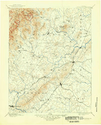
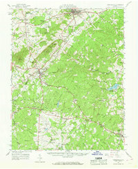
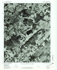
Historical Maps of Montford Through Time
5 maps found