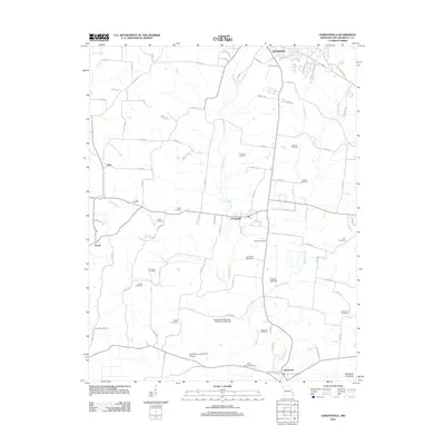
2012 Map of Gordonville
USGS Topo · Published 2012About this map
Gordonville sits at the heart of this Cape Girardeau County landscape, where the rolling agricultural uplands begin to meet the Southeast Lowlands. The 2012 topography reveals a dense network of family history markers, with a high concentration of cemeteries such as McGuire Cemetery, Summers Cemetery, and Kinder Cemetery scattered across the rural countryside. These sites, along with the smaller settlements of Tilsit and Houck, provide an essential record of early family landholdings and community development in the region.
Find a feature on this map
92 named features on this map. Tap any name to fly to it.
Don’t see what you’re looking for? This feature index may not catch every label — zoom into the map to look around manually.
Map Details
Editions of this 2012 Gordonville Map
This is the sole edition of this map. No revisions or reprints were ever made.
Other maps of this area

1922 · Cape Girardeau
USGS Topo · 1:62,500

1924 · Cape Girardeau
USGS Topo · 1:62,500

1933 · Marble Hill
USGS Topo · 1:62,500

1934 · Morley
USGS Topo · 1:62,500

1934 · Advance
USGS Topo · 1:62,500

1937 · Marble Hill
USGS Topo · 1:62,500

1939 · Morley
USGS Topo · 1:62,500

1939 · Advance
USGS Topo · 1:62,500

1949 · Paducah
USGS Topo · 1:250,000

1950 · Paducah
USGS Topo · 1:250,000