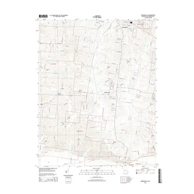
2015 Map of Gordonville
USGS Topo · Published 2015About this map
Gordonville sits at the center of this rural landscape, surrounded by a dense network of family-named cemeteries and drainage systems that define the area's ancestral history. The land south of Jackson is deeply etched by the meandering path of Hubble Cr, which flows toward the southern settlements of Dutchtown and Houck. A notable concentration of community landmarks exists west of the main village, including the Zion United Methodist Church-Cemetery and several smaller family burial plots like the Eakon Cemetery and Beach Cemetery.
Find a feature on this map
117 named features on this map. Tap any name to fly to it.
Don’t see what you’re looking for? This feature index may not catch every label — zoom into the map to look around manually.
Map Details
Editions of this 2015 Gordonville Map
This is the sole edition of this map. No revisions or reprints were ever made.
Other maps of this area

1922 · Cape Girardeau
USGS Topo · 1:62,500

1924 · Cape Girardeau
USGS Topo · 1:62,500

1933 · Marble Hill
USGS Topo · 1:62,500

1934 · Morley
USGS Topo · 1:62,500

1934 · Advance
USGS Topo · 1:62,500

1937 · Marble Hill
USGS Topo · 1:62,500

1939 · Morley
USGS Topo · 1:62,500

1939 · Advance
USGS Topo · 1:62,500

1949 · Paducah
USGS Topo · 1:250,000

1950 · Paducah
USGS Topo · 1:250,000