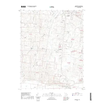
2017 Map of Gordonville
USGS Topo · Published 2017About this map
Hubble Cr and its various tributaries, including Williams Cr and Foster Cr, define the drainage patterns of this Cape Girardeau County landscape. The area is characterized by a dense network of family and community burial grounds, such as the Zion United Methodist Church Cem, Eggimann Cem, and Suedekum Cem, which serve as vital markers for genealogical research. The small settlements of Gordonville, Tilsit, and Dutchtown are connected by a web of county roads and state highways, reflecting a rural township structure that has persisted into the modern era. To the north, the southern edge of Jackson begins to exert its influence, while the ridges of Saddlebrooke Ridge and Coyote Ridge provide distinct topographic boundaries between the creek valleys.
Find a feature on this map
118 named features on this map. Tap any name to fly to it.
Don’t see what you’re looking for? This feature index may not catch every label — zoom into the map to look around manually.
Map Details
Editions of this 2017 Gordonville Map
This is the sole edition of this map. No revisions or reprints were ever made.
Other maps of this area
1922 · Cape Girardeau
USGS Topo · 1:62,500
1924 · Cape Girardeau
USGS Topo · 1:62,500
1933 · Marble Hill
USGS Topo · 1:62,500
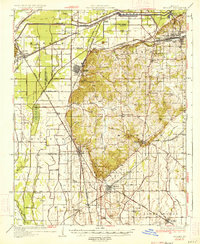
1934 · Morley
USGS Topo · 1:62,500
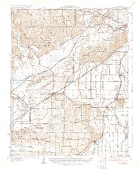
1934 · Advance
USGS Topo · 1:62,500
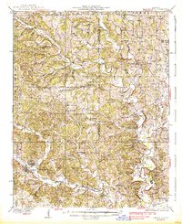
1937 · Marble Hill
USGS Topo · 1:62,500
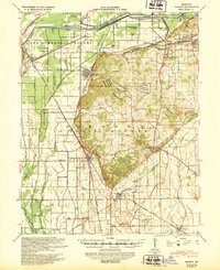
1939 · Morley
USGS Topo · 1:62,500
1939 · Advance
USGS Topo · 1:62,500
1949 · Paducah
USGS Topo · 1:250,000
1950 · Paducah
USGS Topo · 1:250,000