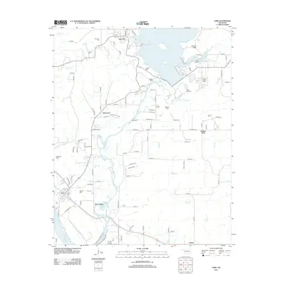
2012 Map of Gore
USGS Topo · Published 2012About this map
The Illinois River winds southward through this portion of Sequoyah County, forming a geographic spine between Tenkiller Lake to the north and the confluence with the Arkansas River at the southern edge. The town of Gore serves as the primary hub, situated near the riverbanks where Gore Landing provides water access. The landscape is characterized by prominent high points such as Linder Mtn, Beetle Bluff, and Sausbee Mtn, which define the rugged topography surrounding the river valley.
Find a feature on this map
100 named features on this map. Tap any name to fly to it.
Don’t see what you’re looking for? This feature index may not catch every label — zoom into the map to look around manually.
Map Details
Editions of this 2012 Gore Map
This is the sole edition of this map. No revisions or reprints were ever made.
Other maps of this area
1898 · Tahlequah
USGS Topo · 1:125,000
1900 · Sansbois
USGS Topo · 1:125,000
1900 · Sallisaw
USGS Topo · 1:125,000
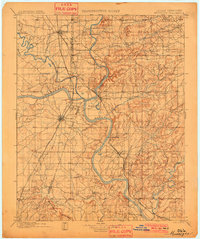
1901 · Muscogee
USGS Topo · 1:125,000
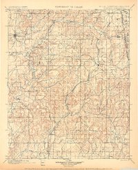
1901 · Tahlequah
USGS Topo · 1:125,000
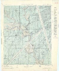
1905 · Muscogee
USGS Topo · 1:125,000
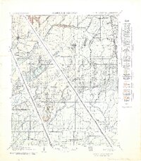
1905 · Tahlequah
USGS Topo · 1:125,000
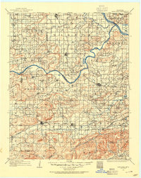
1909 · Sans Bois
USGS Topo · 1:125,000
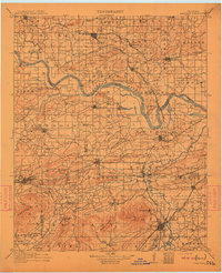
1911 · Sallisaw
USGS Topo · 1:125,000
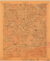
1911 · Sansbois
USGS Topo · 1:125,000