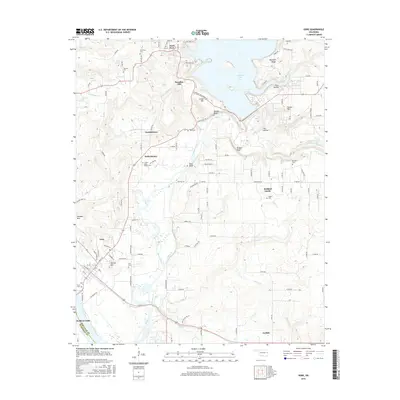
2016 Map of Gore
USGS Topo · Published 2016About this map
The Illinois River flows south toward its confluence with the Arkansas River, passing between the communities of Gore and Webbers Falls at the border of Sequoyah and Muskogee counties. The landscape is defined by the transition from the waters of Tenkiller Lake in the northeast to the alluvial plains near the river’s end. Several smaller communities and family-named landmarks are scattered throughout the hills, including Paradise Hill, Notchie Town, and Redbird Smith. Local history is deeply embedded in the numerous family and community burial grounds documented here, such as Tee Hee Cem, Rogers Cem, and Red Bird Cem. The terrain is marked by significant elevations like Sausbee Mtn, Linder Mtn, and Round Mtn, while the Corps of Engineers Rd and the Power Plant Rd indicate the industrial infrastructure associated with the nearby dam and river management.
Find a feature on this map
115 named features on this map. Tap any name to fly to it.
Don’t see what you’re looking for? This feature index may not catch every label — zoom into the map to look around manually.
Map Details
Editions of this 2016 Gore Map
This is the sole edition of this map. No revisions or reprints were ever made.
Other maps of this area

1898 · Tahlequah
USGS Topo · 1:125,000

1900 · Sansbois
USGS Topo · 1:125,000

1900 · Sallisaw
USGS Topo · 1:125,000

1901 · Muscogee
USGS Topo · 1:125,000

1901 · Tahlequah
USGS Topo · 1:125,000

1905 · Muscogee
USGS Topo · 1:125,000

1905 · Tahlequah
USGS Topo · 1:125,000

1909 · Sans Bois
USGS Topo · 1:125,000

1911 · Sallisaw
USGS Topo · 1:125,000

1911 · Sansbois
USGS Topo · 1:125,000