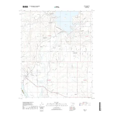
2019 Map of Gore
USGS Topo · Published 2019About this map
The Illinois River flows through the heart of this Sequoyah County landscape, winding south toward its confluence with the Arkansas River just beyond the town of Gore. This survey highlights a region defined by the dramatic relief of the Ozark foothills, where bluffs like Beetle Bluff, Rock Bluff, and Runyan Bluff overlook the river valley. The northeastern portion of the map is dominated by the waters of Tenkiller Ferry Lake, a significant reservoir managed by the U.S. Army Corps of Engineers, which has reshaped the local topography and commerce around Aqua Park and Paradise Hill. Genealogists will find a wealth of burial sites, including the Tee Hee Cem, Stevenson Cem, and Linder-Bend-Rogers Cem. The map also captures the settlement patterns of Notchietown and Redbird Smith, along with several family-named landmarks like Merford Ridge and Sausbee Mtn that reflect the area's deep local roots.
Find a feature on this map
169 named features on this map. Tap any name to fly to it.
Don’t see what you’re looking for? This feature index may not catch every label — zoom into the map to look around manually.
Map Details
Editions of this 2019 Gore Map
This is the sole edition of this map. No revisions or reprints were ever made.
Other maps of this area

1898 · Tahlequah
USGS Topo · 1:125,000

1900 · Sansbois
USGS Topo · 1:125,000

1900 · Sallisaw
USGS Topo · 1:125,000

1901 · Muscogee
USGS Topo · 1:125,000

1901 · Tahlequah
USGS Topo · 1:125,000

1905 · Muscogee
USGS Topo · 1:125,000

1905 · Tahlequah
USGS Topo · 1:125,000

1909 · Sans Bois
USGS Topo · 1:125,000

1911 · Sallisaw
USGS Topo · 1:125,000

1911 · Sansbois
USGS Topo · 1:125,000