2022 Map of Gore
USGS Topo · Published 2022About this map
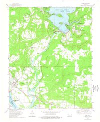
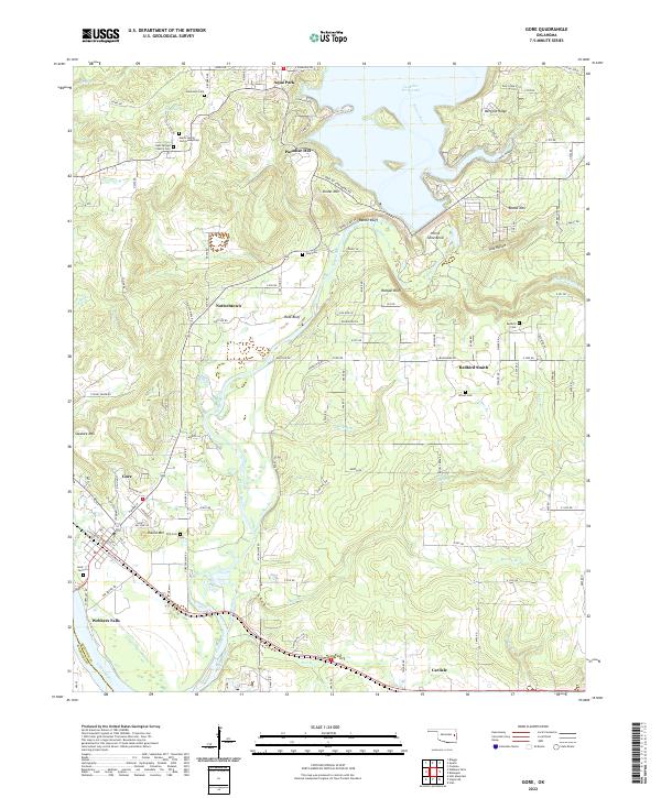
The confluence of the Illinois River and the Arkansas River defines this landscape in Sequoyah County, where the water has shaped both the economy and the settlement patterns. Just south of the Tenkiller Ferry Lake dam, the terrain drops from the wooded heights of Linder Mtn and Merford Ridge toward the alluvial flats near Webbers Falls. This area is rich in Cherokee cultural history, evidenced by the presence of Redbird Smith, named for the influential Cherokee leader, and several family burial grounds including the Gates Family Cem Gumsprings and the Stevenson Cem.
Find a feature on this map
123 named features on this map. Tap any name to fly to it.
Don’t see what you’re looking for? This feature index may not catch every label — zoom into the map to look around manually.
Map Details
Editions of this 2022 Gore Map
This is the sole edition of this map. No revisions or reprints were ever made.