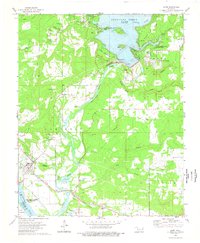
1974 Map of Gore
USGS Topo · Published 1978About this map
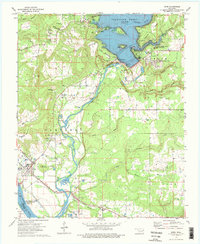
The Illinois River dominates this mid-1970s landscape as it flows through the Campbell township, winding from the massive Tenkiller Ferry Dam southward toward the Arkansas River and Robert S Kerr Reservoir. The town of Gore serves as the local hub, situated near the Missouri Pacific railroad line and the prominent Round Mountain. This era captures a region shaped by major water management projects, with extensive recreational infrastructure like Aqua Park, Strayhorn Landing Public Use Area, and Pine Creek Cove State Park lining the shores of Tenkiller Ferry Lake. For the genealogist or local historian, the map preserves the locations of numerous family and community landmarks, including Stevenson Cem, Tee Hee Cem, and the Notichtown Cem. The terrain rises sharply at Linder Mountain and Sausbee Mountain, contrasting the industrial utility of various quarries and gravel pits with the rural presence of the Gum Spring Ch and Carlile Sch.
Find a feature on this map
64 named features on this map. Tap any name to fly to it.
Don’t see what you’re looking for? This feature index may not catch every label — zoom into the map to look around manually.
Map Details
Editions of this 1974 Gore Map
2 editions found
Other maps of this area

1898 · Tahlequah
USGS Topo · 1:125,000

1900 · Sansbois
USGS Topo · 1:125,000

1900 · Sallisaw
USGS Topo · 1:125,000

1901 · Muscogee
USGS Topo · 1:125,000

1901 · Tahlequah
USGS Topo · 1:125,000

1905 · Muscogee
USGS Topo · 1:125,000

1905 · Tahlequah
USGS Topo · 1:125,000

1909 · Sans Bois
USGS Topo · 1:125,000

1911 · Sallisaw
USGS Topo · 1:125,000

1911 · Sansbois
USGS Topo · 1:125,000